- Home
- About Us
- Membership
- 2025 GIS Conference
- Events
- Resources
- Forums

We are IGICThe Indiana Geographic Information Council (IGIC) is a nonprofit organization leading the effective application of geographic information in Indiana.
Our membership includes individuals from all levels of government, private industry, educational institutions and other nonprofit groups. Through our membership and elected board of directors, we strive to make a real difference in Indiana GIS – both for those who use it and those who benefit from it. The mission of the Indiana Geographic Information Council (IGIC) is to work through its membership to advance and improve the practice of GIS across Indiana to benefit Hoosiers throughout the state. This will be accomplished by:
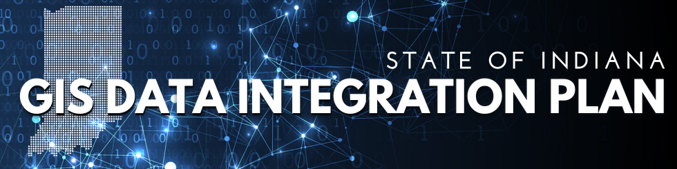
Indiana leads the nation in geospatial maturityIndiana was the only state to earn an “A” for statewide GIS coordination by the National States Geographic Information Council (NSGIC). While this should come as no surprise to the Indiana GIS community, our coordination success underscores the vital role we all have as members of the statewide GIS community! Learn MoreAre you a member of IGIC?"I have found IGIC and it's leadership and membership to be very helpful any time I have had need. I think it is a fantastic organization. I'm proud to be a member again after a lengthy absence.” – Mike Snelling Membership Options |
Our Sponsors


Latest News
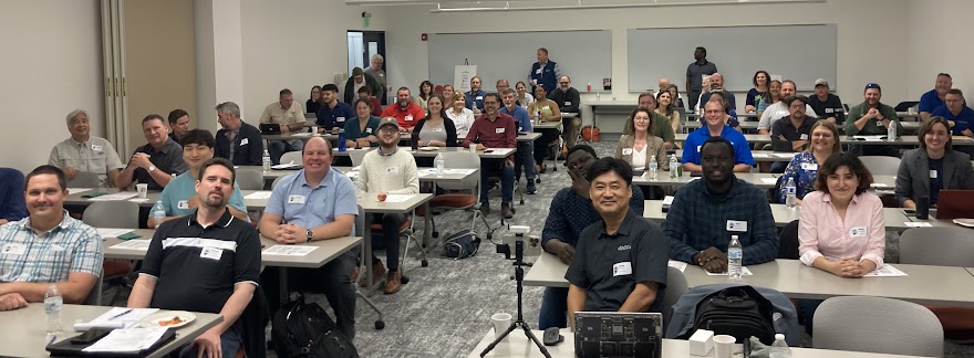
Level Up Your GIS Skills at the ArcGIS Pro Bootcamp, July 22-23
Save the Date for GIS Day 2025